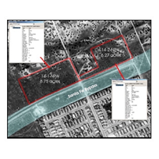
Integrating Geospatial Technology into Right-of-Way Data

The Transportation Research Board of the National Academies awarded the National Cooperative Highway Research Program grant to CGIT to prepare and disseminate information about geospatial technologies in the right-of-way (ROW) data management process. The grant enabled CGIT to accomplish three major activities:
- Performed a literature search and prepare a bibliography of ROW/land management systems;
- Prepared six case studies using “real-world” examples that demonstrate the return on investment for a diversity of ROW systems;
- Identified the hundreds of data elements necessary for a geospatial data management system for planning and management, engineering and mapping, property appraisal and acquisition, utility relocation, and corridor preservation as part of ROW functions.


