

Web-Enabled Spatial Decision Support System for Interdisciplinary Watershed Management
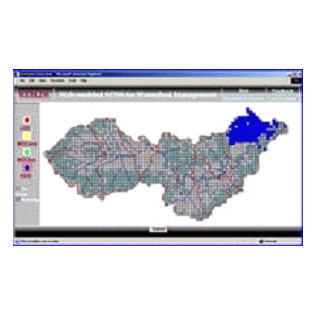
This research project presented the development issues, architecture, and advantages of internet-based, cross-disciplinary modeling for watershed management using the Back Creek sub-watershed of the Upper Roanoke River Basin in southwestern Virginia as a case study. A prototype web enabled Spatial Decision Support System (SDSS), WebL2W, was developed as a result of this research. The research was a part of a multi-disciplinary project entitled “From Landscapes to Waterscapes: Integrating Framework for Urban Watersheds” funded jointly by USEPA and NSF at Virginia Tech from 1997 to 2001.
See our Previous Projects
