

Virginia Tech Facilities GIS
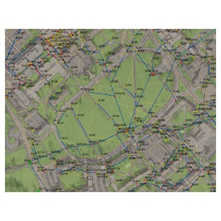
CGIT entered into an agreement with University Facilities to provide services relating to campus GIS, CADD, and mapping. As part of this project, CGIT managed the existing spatial data layers on the current servers including the CADD, GIS, and aerial mapping section of the existing University facilities website, as well as the as-built utility data.
CGIT also sought to verify the existing data layer quality for purposes such as insuring system integrity for future modeling, asset management, and master planning. Other tasks involved preparing an assessment report on the history, data fields, and verification status of all data layers in order to develop a priority plan for data layer improvement.
See our Previous Projects
