Alexandria Archaeology GIS Mapping

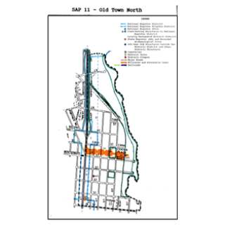
For this project, CGIT collaborated with the Office of Historic Alexandria to digitally preserve important historic maps for the Alexandria Archaeology Museum beginning with the area outside of Old Town Alexandria where archaeological resources are most threatened by expanding development. Direct funds from the City of Alexandria in addition to a grant from the Historic Alexandria Foundation allowed Virginia Tech CGIT to develop a framework for a Historic Alexandria Digital Atlas based on Geographical Information System (GIS) technology.
Seeing historic maps and photographs as digital and printed overlays on contemporary city maps will enable researchers and archaeologists from the Alexandria Archaeology Museum, the City of Alexandria, and the general public to identify locations of prehistoric and historic archaeological sites with greater accuracy and speed.


