Application of Spatial Uncertainty Models to Automate and Enhance Data Fusion

The National Geospatial-Intelligence Agency (NGA) collects and analyzes spatial data, such as digital maps, for homeland security and defense purposes. The NGA Academic Research Program (NARP) offers research grants to universities, and has awarded $450,000 to Virginia Tech over the course of three years, with a possible two-year extension. This is the first award VT has received under this program.
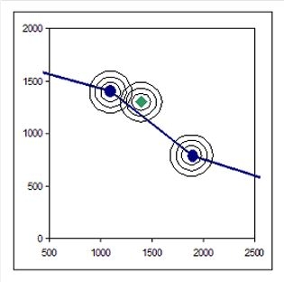
The general objective of this program is to develop tools and procedures which will allow NGA analysts to use information about the uncertainty of data to aid in making better informed decisions. This project seeks to create tools that will enable the NGA to account for data uncertainty and map out variables of location.


