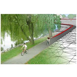
GIS-based decision support database and application for Virginia's bikeway and pedestrian infrastructure

A statewide project will create an Internet-based digital repository of existing and planned bicycle and pedestrian infrastructure, including bike lanes, hiking and horseback riding trails. The project is funded by the Department of Conservation and Recreation (DCR) and the Virginia Department of Transportation (VDOT).
The project is set to facilitate the information retrieval and decision making efforts for VDOT, DCR and other stakeholders with regards to bicycle and pedestrian infrastructure. Some of the activities that will be performed for this project include:
- Develop a GIS data model that will support the development of a statewide, non-motorized transportation database;
- Develop a web-based GIS application that will assist managers in their planning responsibilities;
- Collect and integrate data from other federal sources such as state and national parks.


